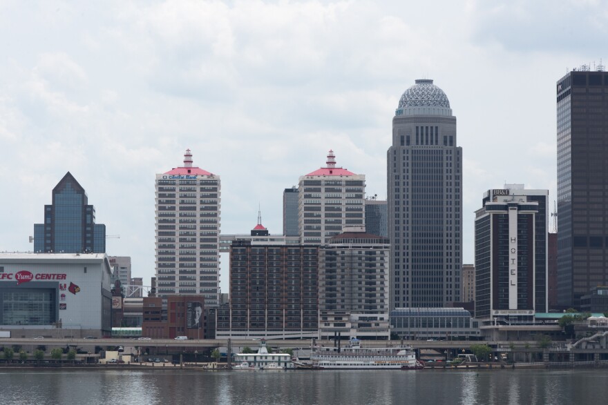
For our latest installment of Curious Louisville, WFPL listener Ben Taylor came to us with this inquiry:
“Why is Louisville located at this particular point on the Ohio River instead of somewhere else?”
The answer lies mostly in the river — and the Falls of the Ohio.
At the Portland Museum just west of downtown Louisville, Teresa Lee took me on a topographical tour of the Falls of the Ohio, past and present.
Lee is the museum’s education and visitor services coordinator.
For early navigators, the prehistoric rock ledge formations and rapids that once interrupted the flow of much of the Ohio River near Portland were an impediment. But they were integral to the development of Louisville.
Lee said prior to construction and expansion of the Portland Canal in the 1800s and -- much later -- the McAlpine Locks and Dam, navigating the falls was dangerous work for pilots of Ohio River vessels.
“You had to make a decision. There were times of year you had to stop and get out of the river and walk around," she said. "So you’ve got Louisville on one end of the falls and Portland on the lower end."
And becoming a stopping point for travelers was a recipe for growth. Over half a century, Louisville expanded from a modest settlement established by George Rogers Clark in the late 1700s into a full-fledged commercial center.
“John James Audubon, in the 1840s, he called it an overgrown city, so even by 1840 people were complaining about urban sprawl and things like that,” Lee said.
Louisville became a bustling place for shipping, manufacturing and other business, including -- infamously -- the slave trade.
And Lee said the site that would become Louisville appeared destined to be a significant location. The falls was already a strategic point long before European settlers got here, part of a vast Native American trading network.
“No matter what time period you’re looking at, whoever controls the falls controls the flow of resources through this area," said Lee. "Kentucky in general is geographically this transition zone between north and south and east and west.”
That centrality was also key to Louisville’s development.
The Ohio River has been altered over generations to accommodate commerce and safety, and remains part of the city’s lifeblood.
“We’ve modified the river considerably," said Lee. "It’s on average about five to seven feet wider and deeper than it used to be through damming upstream and dredging and things like that."
The Falls of the Ohio has been tamed, and today, boats and barges routinely pass through the locks.
People can still explore what remains of the Falls of the Ohio. A conservation area, fossil beds and an interpretive center are on the banks of the river at Clarksville, Indiana.
You can download this story, and be sure to subscribe to Curious Louisville wherever you get your podcasts.
Submit your own question at curiouslouisville.org.


