If there's one thing we've learned, nearly a year into our Curious Louisville project, it's that you are very curious about traffic, transportation, and roads. Maybe you're listening on your commute, so driving is on your mind!
One route-related request lead us to a Master's Thesis from 1971, now nestled in the archives of the Filson Historical Society. The question:
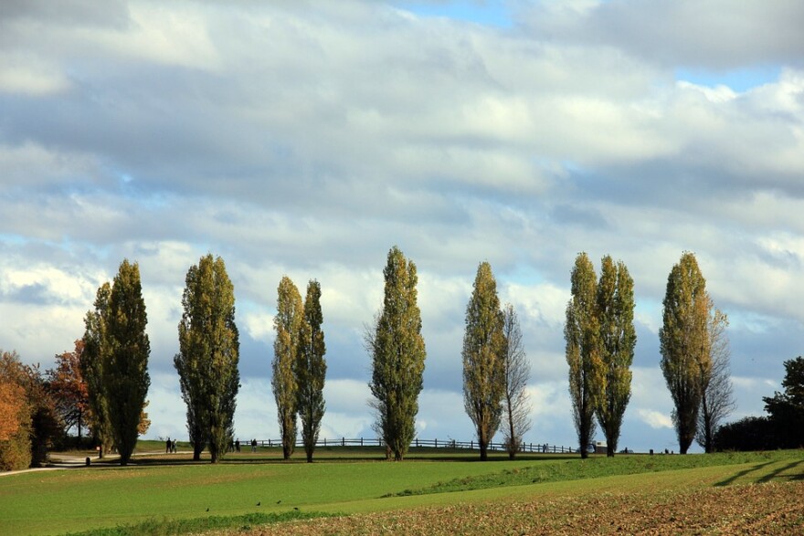
How did Poplar Level Road get such a strange name?
Jennie Cole, Master of Collections Access at the Filson, did a little digging, and says the name dates all the way back to the 1780s. Poplar Level is listed in a volume called "Place Names of Jefferson County, Kentucky, 1750-1800," which was a Master's Thesis by Constance P. Cameron. Here's the listing:
Cameron's own source was a deposition of Colonel William Pope Sr., taken August 22, 1811, at the home of Joseph Brooks in Bullitt County, which referred to the land, "between Bullitt's Lick and the Falls."
In case the name Bullitt's Lick is new to you (like it was to me), it's a historical salt lick in Shepherdsville, in Bullitt County. It's part of a huge concentration of salt ranging from Bardstown to Fairdale, and would become the first commercial salt supplier in the commonwealth. Buffalo loved it, and they wore paths in the earth that human visitors later used as roads.
This is what happens when you're curious. You start out looking for a street name's origin, and the next thing you know you're learning about how deforestation around industrial salt production dismayed a philanthropist named Isaac Bernheim so much, that he bought and endowed the land — now Bernheim Arboretum and Research Forest.
Constance Cameron herself lived from 1922 until 2012. A lifelong educator, she was awarded a Master's Thesis from the University of Louisville in 1972, just a few months shy of her 50th birthday. Sounds like she was a lady who stayed pretty curious, herself.
Ask a question of your own, or see our previously-answered questions, at curiouslouisville.org!


